Antarctic Expedition to 'Danger Zone' Accidentally Discovers Previously Uncharted Island
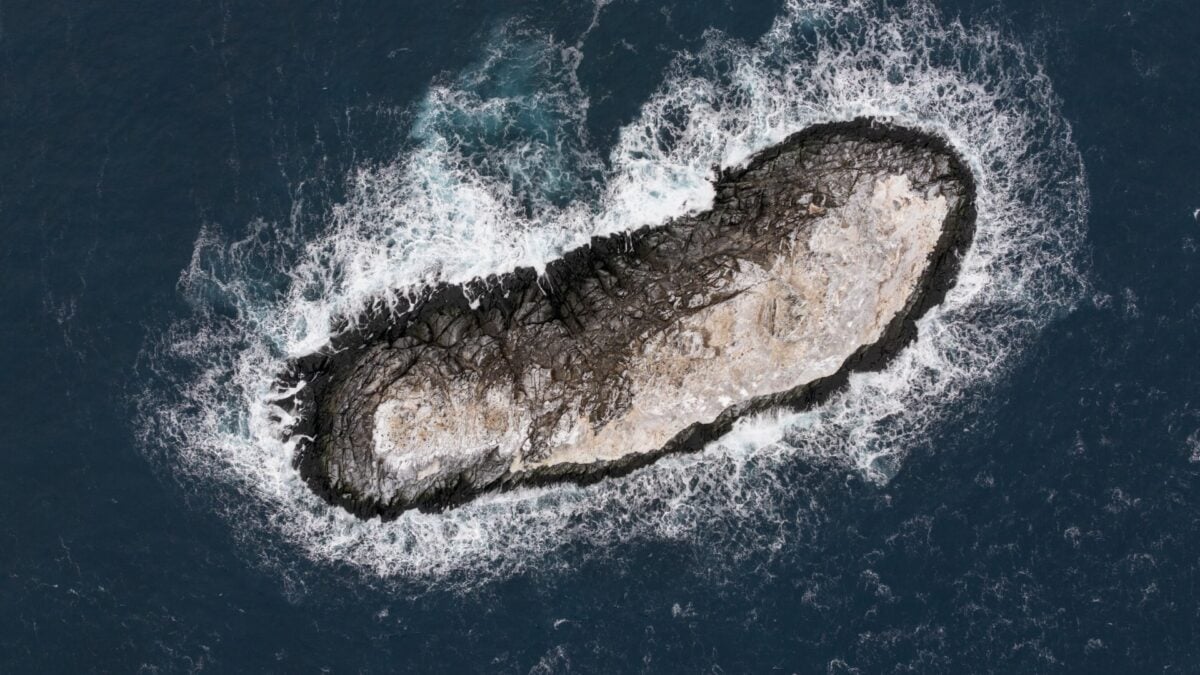
On satellite images, it was virtually indistinguishable from the flotilla of icebergs drifting around it. When approached from the horizon through the Antarctic’s Weddell Sea, it even looked like one, just coated in a layer of muck and ocean grime. But scientists with the Polarstern expedition have now identified it as a previously uncharted island. The island—which is roughly the size of the White House (about 66,740 square feet, or 6,200 square meters)—does not have a name yet, according to the Alfred Wegener Institute’s Polarstern team. The newly discovered island has now been completely surveyed, and its precise geographic coordinates will soon be added to international nautical charts and other critical datasets. Up until this year, the island’s location had been misidentified by about one nautical mile and ambiguously defined as a “danger zone” to mariners on nautical charts, per an AWI press statement. The mystery intrigued geophysicist Simon Dreutter, whose research role on AWI’s Polarstern icebreaker vessel involves collecting and analyzing bathymetric data, here meaning the topographical undersea mapping of ocean floors scanned via sonar, blue-green laser LiDAR, and other
Source: For the complete article, please visit the original source link below.
