Devastating European wildfires in maps - and how they're being tackled
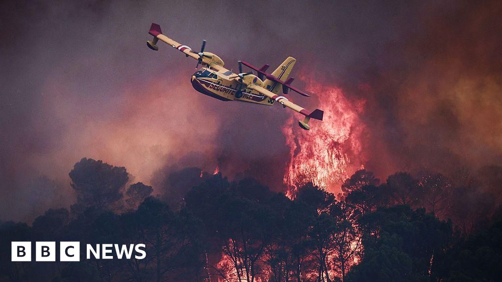
Since mid-July wildfires have torn through France, Spain, and Portugal forcing more than 300,000 people to evacuate their homes. Officials in the Spanish capital Madrid have said the fires are the worst the region have ever experienced. French President Emmanuel Macron, visiting the fire-ravaged area in the Gironde region, called the "completely unprecedented" wildfire the "toughest since World War Two". The fires have broken out amid a sweltering summer of heatwaves across Europe. Both France and Spain are now seeing another sharp rise in temperatures, with peaks of 41-42C expected in France. Wildfires in the regions outside Madrid have burned about 606 sq miles (1570 sq km) since 1 July, according to the European Forest Fire Information System (Effis). That is an area more than twice as large as the city itself. In France, the worst affected area has been the Gironde, around the city of Bordeaux, where more than 200,000 people were forced from their homes. From 22 July the blaze spread rapidly, tearing through forests and fields in France's famous wine region, and burning more than 162 sq miles (420 sq km) in less than four days - an area roughly four times the size of Paris. At
Source: For the complete article, please visit the original source link below.